Instructor
Ognjen Graovac
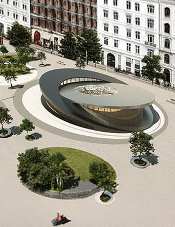
Ognjen Graovac is an architect and computational designer from Belgrade who loves blending design, technology, and creative problem-solving. He completed both his Bachelor’s and Master’s degrees at the Faculty of Architecture in Belgrade, where he first got into parametric and computational design. That curiosity quickly pushed him toward object-oriented programming and creating digital tools and workflows to expand architects’ ability to design complex and precise shapes. A year later, Ognjen founded Algorithmic Architecture, a small studio focused on solving geometric challenges in complex architectural forms and automating the creation of precise, large-scale 3D models for the building industry. Through his work, he has contributed to both small and large projects, including major developments such as Madison Square Garden in Las Vegas. Ognjen is also an active member of the open-source community. He develops free Grasshopper plugins such as 3D Graphic Statics and Spider 3D. The 3D Graphic Statics plugin alone includes over 100 components and has been downloaded more than 11,000 times worldwide. He has also won several awards in architectural competitions, including a first-place prize for a pedestrian bridge over the Danube River in Novi Sad.



.webp&w=3840&q=75)